Glacial Origins and Bathymetry
Pleistocene ice sheets carved deep channels now flooded by seawater, creating complex bathymetry with basins exceeding 200 m depth. Post-glacial rebound continues adjusting relative sea level locally.
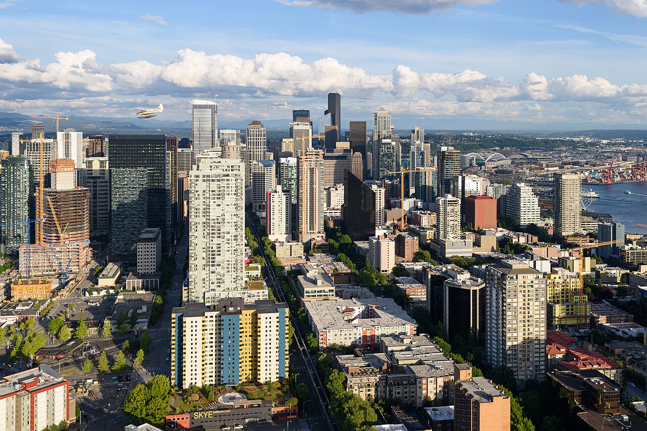
Seattle occupies eastern shore on regraded glacial till and fill over former tidal marshes in Denny Regrade areas.
Cascadia subduction zone seismicity poses tsunami and liquefaction hazards for low-lying waterfront.
Salmon and Estuary Ecology
Salmon migrations through Ballard Locks connect saltwater to Lake Washington watershed. Habitat restoration projects remove culverts and daylight streams in urban neighbourhoods supporting endangered runs.
Orca populations depend on salmon abundance; environmental groups link land-use policy to marine health advocacy.
Ferry System and Island Connectivity
Washington State Ferries operate from Colman Dock and nearby terminals linking Seattle to Bainbridge and Bremerton. Ferries function as extension of highway system and daily commuter lifelines.
Related: Skyline views from ferry approaches
Shoreline Development Policy
Shoreline Management Act regulates industrial, residential and public uses. Recent waterfront park construction emphasises sea level rise adaptation and public access easements.
Related: Mountain views across the Sound
Climate and Marine Weather
Marine layer clouds modulate summer heat; winter storms from Pacific bring precipitation feeding Sound freshwater inputs. Climate models project altered stream timing affecting salmon spawning.
- Wildlife: Harbor seals, porpoises near downtown
- Recreation: Kayaking and sailing clubs on Lake Union
- Research: UW oceanography programmes monitor Sound health