Geology and Volcanic Status
Mount Rainier rises 4,392 m with extensive glacial ice despite being an active volcano with geothermal monitoring by USGS Cascades Volcano Observatory. Lahars pose downstream risks to valley communities.
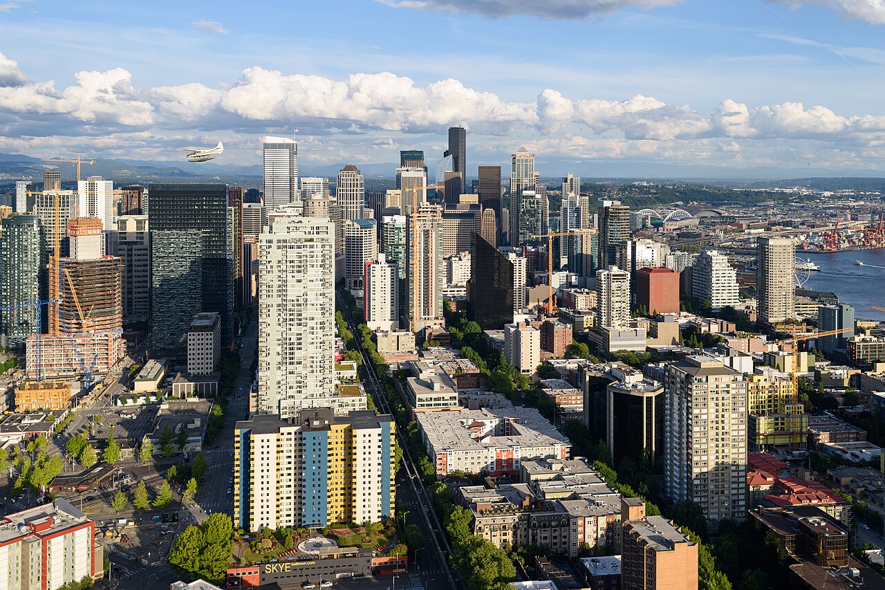
Clear atmospheric conditions after cold fronts yield spectacular views from Seattle hilltops and Space Needle observation level.
Volcano hazard maps guide land-use planning in Pierce County valleys; Seattle faces primarily ashfall risk in major eruption scenarios.
Indigenous Significance — Tahoma
Coast Salish peoples including Puyallup and Muckleshoot nations hold Tahoma as sacred landscape. Renaming debates reflect broader indigenous sovereignty and place-name justice movements.
Interpretive programmes at national park and city museums present indigenous perspectives alongside geological narratives.
Viewing Locations in Seattle
Kerry Park on Queen Anne Hill offers classic framed skyline compositions with Rainier backdrop. Alki Beach and West Seattle viewpoints provide west-side perspectives across Elliott Bay.
Photographers monitor weather apps for rainier view conditions when offshore flow clears particulates.
Related: Puget Sound weather patterns
Recreation and National Park
Mount Rainier National Park accesses Paradise and Sunrise visitor areas for hiking and wildflower meadows. Winter snowpack supports skiing and climbing with permit systems for summit attempts.
Explore: Tourism links from Seattle Center
Climate Change Impacts
Glacier retreat reduces summer water inputs to rivers supporting salmon and agriculture. Wildfire smoke increasingly obscures views, linking urban air quality to regional forest management.
- Views: Best often morning after cold front passage
- Park access: Seasonal road openings vary by snow
- Respect: Acknowledge indigenous place names in interpretation